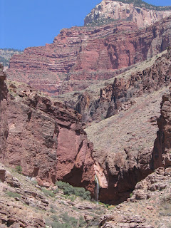
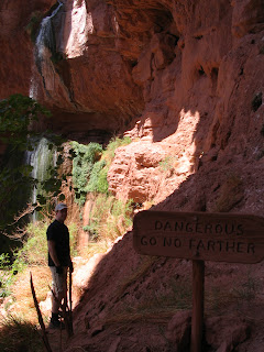
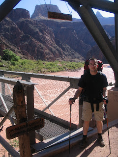
a sampling of pics
As you know, Blogger and I don't get along when it comes to posting pictures, so I won't get too creative here. Just mouse over the picture for a short description.


These pictures don't even remotely do justice to the awesomeness of the area out there. There's too much detail like depth and surrounding views missing. But I guess to get the real effect you just have to be there. This was my third trip out to that Arizona-Utah-Nevada area, and it hasn't started getting old yet. I don't see how it could. Though I also love international travel and being in different cultures and such, I agree with a co-worker in that we don't need to leave the country to see truly amazing parts of the world.
